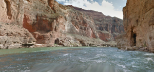
 A trip through the Grand Canyon on the Colorado River is a once-in-a-lifetime experience for most people, complete with big-water rapids, soaring red rock walls and a near-endless collection of hidden wonders along the way.
And now Web users can take the same trip without ever leaving their desks.
Well, sort of.
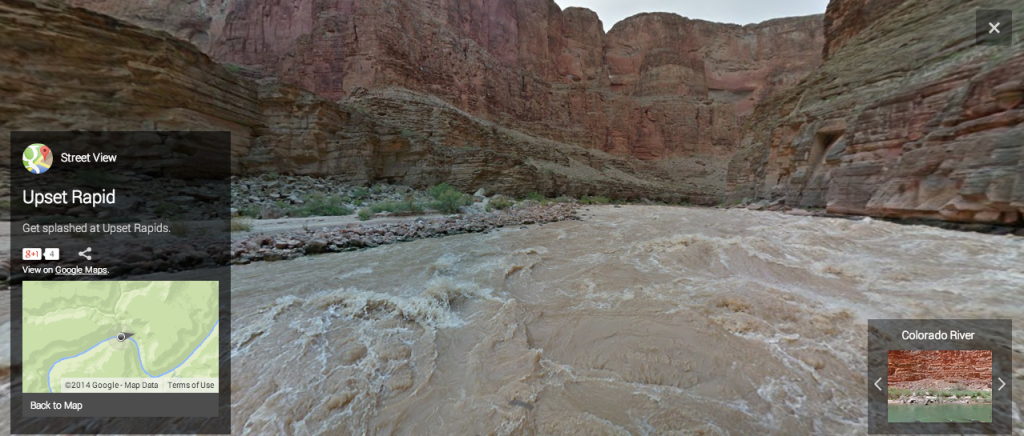
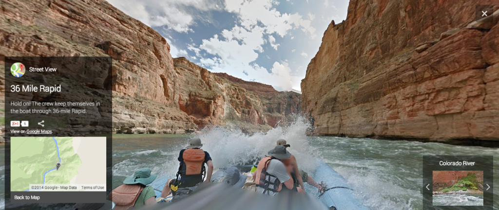
Google recently partnered with American Rivers to launch what it calls “River View,” a site that takes users down a 282-mile stretch of the Colorado, courtesy of the Web company’s immersive image technology. It’s a user experience that’s similar to the Google Street View that most Web users are familiar with – a virtual reality “tour” that stitches together thousands of still photos into a 3D space that users can navigate through as they wish. In the case of River View, the tour includes all of the Grand Canyon’s major rapids, many of the sights and popular spots along the river, and a number of nearby side canyon hikes.
 Unlike Street View, however, the images of the Grand Canyon used on the site were not collected by Google’s fleet of specially-outfitted cars. Instead, the photos were gathered via a raft-mounted Street View camera over the course of an eight-day river trip through the canyon that Google staff took with a team from American Rivers in August 2013.
“Making Street View imagery available of the Colorado River is a tremendous opportunity for us to drive interest for this historical and natural landmark,” said Google’s Karin Tuxen-Bettman when the product was released in March 2014. “We hope this inspires viewers to take an active interest in preserving it.”
Above is just one sample image from the site. You can take the full tour here.


Leave a Comment