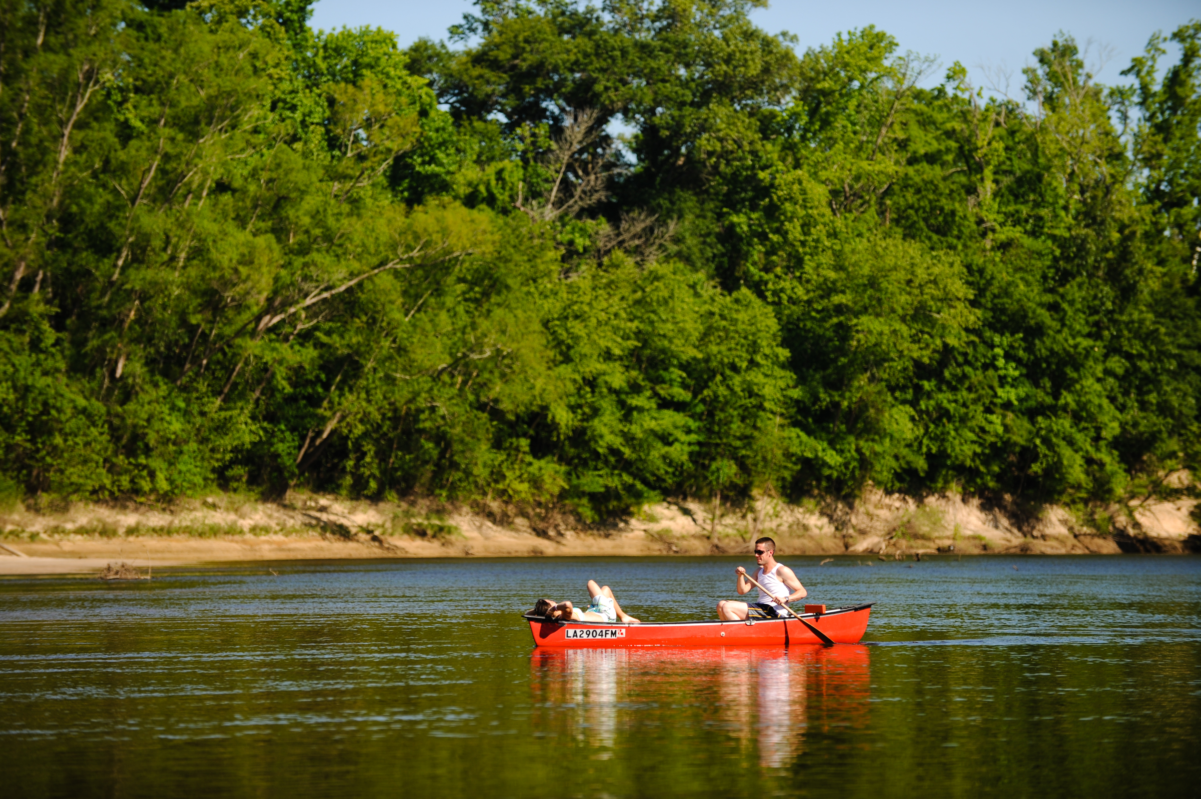
Most always, the ingredients for a great recipe are balanced to let the flavor of each individual part come through every bite. Louisiana’s Calcasieu River resembles a great recipe. Natural beauty, food and fun, as well as superb fishing make the southwestern part of Louisiana a smorgasbord of activities. Like an authentic Cajun gumbo, the Calcasieu offers visitors, including canoeists and kayakers, a great time. The river, with cypress-lined shores and deep flowing waters, is a hidden jewel. Both freshwater and saltwater access makes the area an ideal place for avid outdoorspeople to enjoy.
Calcasieu Basin, River and Lake
Occupying more than 4,000 square miles, the Calcasieu River Basin extends through Central and Southwestern Louisiana. Headwaters are found in hills west of the city of Alexandria. Flow is in a southerly direction for some 215 miles to the Gulf of Mexico, into which it empties at a point 30 miles east of the Louisiana-Texas state line.
The river flows through the following lakes: Lake Charles, Prien Lake. Moss Lake and Calcasieu Lake. Dominant features include oxbow lakes and natural levees. The city of Lake Charles lies in the eastern portion of the basin. The area has been heavily industrialized and petro-chemical plants are a prominent feature of the landscape.
 The Calcasieu Basin is characterized by marshes, which may be fresh, intermediate, brackish, or saline. That Basin supports a variety of marine and wetland habitats, but is dominated by marshlands. Living resources include shrimp, menhaden, nutria, muskrat and waterfowl. Cameron, Louisiana is a major port of call for the offshore oil and gas industry. The area also supports two menhaden processing plants. (The local, slang term for menhaden is “porgie.”)
The Calcasieu River carries freshwater into Calcasieu and Sabine Lakes–two major bodies of water within the Basin. That river varies from a small, fast-flowing stream in the headwaters to a broad, sluggish estuary from around Lake Charles to its entrance into the Gulf.
Calcasieu Lake is located on the coastal plain just east of the Texas-Louisiana border. The lake receives freshwater from the Calcasieu River and connects to the Gulf of Mexico through Calcasieu Pass at Cameron, Louisiana.
The Name
French fur traders around 1750 called the river the “Calcachouk”. They named streams after the Indian tribe or the Indian chief that controlled the river. The name “Calcasieu” comes from the Native American Atakapa language word “Katkosh” for “eagle” and “yok,” meaning “to cry.” Its historical Spanish name was Arroyo Hondo (translated as deep stream).
In the early 19th century, the area of present-day Louisiana and Texas west of the Calcasieu and east of the Neches River was disputed between the United States and Mexico. The dispute arose from differing interpretations of the western boundary of Louisiana under terms of the Louisiana Purchase. This area became known as “Neutral Ground” and became a haven for pirates and privateers.
The matchless Calcasieu, unmindful of its variety of spellings, flows ever onward to the sea. It wears a coat of stillness during the night that is broken at intervals by the croaks of frogs and alligators.
What to See and Do
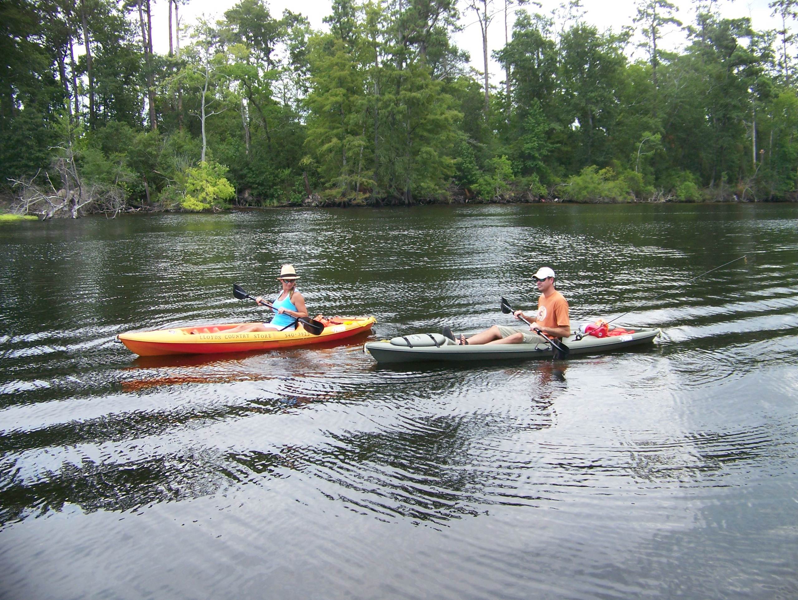
In Calcasieu country kayakers, canoeists and other paddlers can explore hundreds of miles of waterways. Due to maintenance of a ship canal and supplying of navigation channels, waterways here intertwine in multiple directions, bringing in water from all sides of the basin. These waters greatly benefit surrounding habitat. A large piece of land here is protected by the Sabine National Wildlife Refuge and is considered one of the richest habitats for wildlife in North America.
Natural beauty has always attracted people to the unique setting found at the confluence of the Calcasieu and Houston rivers. Two boat launches are located on the West Fork of the Calcasieu River, providing access to the Gulf of Mexico, which is only a few miles away. Three hiking trails winding through the area make strolling pleasurable. Of particular interest is the old stagecoach road which hikers may travel to explore the banks of various Calcasieu River tributaries.
Sam Houston Jones State Park, located where the Houston and Calcasieu streams meet, offers cycling and canoeing. From I-10 westbound at Lake Calcasieu, take LA 171 north heading toward Deridder, Louisiana. Turn west onto LA 378, then north (right) onto Sam Houston Jones Parkway. The Park is located at 107 Sutherland Road, Lake Charles, LA 70611; tel. 337-855-2665 or, toll-free, 1-888-677-7264.
The Park is located just north of what many birding enthusiasts consider to be the most productive birding region of Louisiana. At certain times of the year, 200 bird species can be seen at or near the site.
 One time I went south to the Calcasieu’s West Fork and then east under the Davis Road (Hwy. 378) drawbridge. That’s a good stretch of river to sit and watch motorboats pass through the no-wake zone. Be careful though, as not all boats obey the no-wake ordinance. From I-10, go north at the West Lake exit. Follow LA 378 heading toward Moss Bluff. Turn left onto San Houston Jones Parkway and before long you will come to Paradise Marina and RV Resort. Its telephone no. is 337-855-7591.
Lake Calcasieu is fed by a rich river and an enormous marsh system that surrounds the lake and feeds a teeming population of fish. Those fish include speckled trout (the lake is considered one of the top speckled trout estuaries in the country), redfish and flounder, with a steady supply of shrimp. There are also various species of mussels and of crawfish. The prehistoric paddlefish is found here as well.
Places That Can Help When You Need Help When On the Water
include River Less Paddled, 3823 Ryan Street, Lake Charles, LA 70605. Also, Lloyd’s Country Store, 318 Phillips Road, Westlake, Louisiana 70669, and Sup Y’all Stand Up Paddle and More, North I-10 Beach, Lake Charles, LA 70501, supyall.info@gmail.com.
Calcasieu Basin, River and Lake are special places that many people have posted on their bucket lists. Here paddlers can learn to appreciate nature on its own terms. When you have the chance, give paddling here a try.
Please credit: www.lindseyjanies.com.
Leave a Comment